2021 Greenways Plan
Winnebago, Boone, and Ogle County
Plan Progress

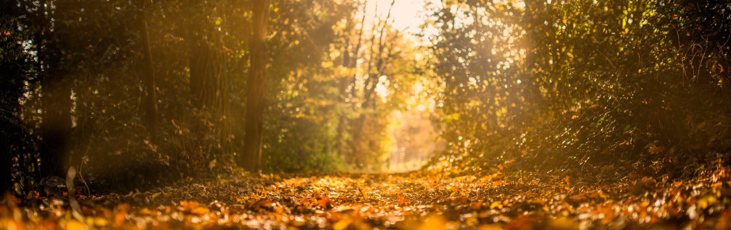
Pictured: Nygren Wetland Preserve, Natural Land Institute, Rockton, IL
Available now: 2021 Greenways Plan and Map
R1 has worked with our partner agencies to complete the Greenways Plan and Map and Regional Greenway Network Map. See them both below.
Explore
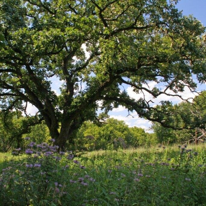
Pictured: Severson Dells, Forest Preserves of Winnebago County, Rockford, IL
Click on the buttons below for an interactive map and story map of local natural spaces. The maps display bike routes, natural resources, hydrology, agricultural areas, and critical/sensitive environmental areas – use them to learn something about your region or to find your next outdoor adventure!
What is a Greenway?
Most simply put, a greenway can broadly be defined as a natural corridor of land which connects existing areas of open space. Greenways are like arteries connecting many vital organs together into one cohesive unit. They are part of a network of green infrastructure, linking together parks, preserves, wetlands, unique habitats, and other environmentally sensitive areas, spanning across urban and rural lands. They provide an opportunity for the natural circulation of plants and animals from one habitat to another and even through or across man made features that act as unnatural barriers. Greenways are not only planned and managed for their natural resource value but also for the associated benefits and services they provide to people and communities. This includes the promotion of active transportation and the resulting healthier communities.
Purpose and Objectives
The purpose of the Greenways Plan and Map is to promote a regional greenway network that protects natural and cultural resources in a manner which supports equal access to green space; provides alternative forms of transportation and recreational benefits; enhances environmental and scenic qualities; and stimulates equitable economic development.
This plan and map will serve as a comprehensive regional planning tool that will also help leverage and secure additional funds for government agencies, nonprofits, and others involved in transportation and land use planning, natural areas preservation, and recreation.
Sign up for our newsletter
to receive Greenways updates
Greenways Working Group

Agencies and Participants
Region 1 Planning Council (R1)
Belvidere Park District (BPD)
Boone County Conservation District (BCCD)
Boone County Soil and Water Conservation District (BCSWCD)
Forest Preserves of Winnebago County
I Bike Rockford
Illinois Nature Preserves Commission
Natural Land Institute (NLI)
Ogle County Planning
Rockford Park District (RPD)
Rock River Water Reclamation District
U.S. Department of Agriculture Natural Resources Conservation Service (USDA-NRCS)
Winnebago County Soil & Water Conservation District (WCSWCD)